+91 63642 99888 contact@universallandsurveyors.com 1st Block, Rajajinagar, Bengaluru
The Groundwork for your success
Reliable land surveys and expert soil testing solutions for
confidence and quality construction.
Qualified land survey and soil testing services in India
Universal Land Surveyors and Soil Testing Lab: Delivering accurate, reliable, and
cost-effective solutions with a commitment to excellence. Ensuring project success and investment safety through innovation and professionalism
Our Clients





Boundary Survey
Accurately define property lines, easements, and rights-of-way for clear land ownership delineation and dispute prevention.
Read More –>
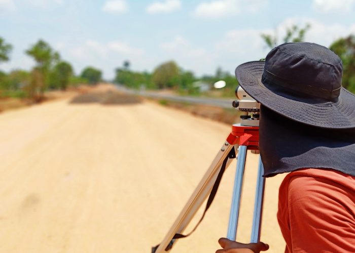
Topographic Survey
Map natural and man-made features including contours, elevations, buildings, and utilities, vital for site planning and engineering projects.
Read More –>
Revenue Surveys & Documentation
Utilize total station instruments for precise horizontal and vertical positioning of survey points, ensuring accurate parcel boundary definition
Read More –>
Construction Layout and Staking
Provide precise layout and staking services for accurate placement of buildings, roads, utilities, and infrastructure elements as per design plans.
Read More –>
Vastu Surveys
Evaluate building sites according to Vastu principles, considering land shape, orientation, surroundings, and natural elements.
Read More –>
As-Built Surveys
Verify location, dimensions, and elevations of constructed improvements, ensuring compliance with approved plans.
Read More –>
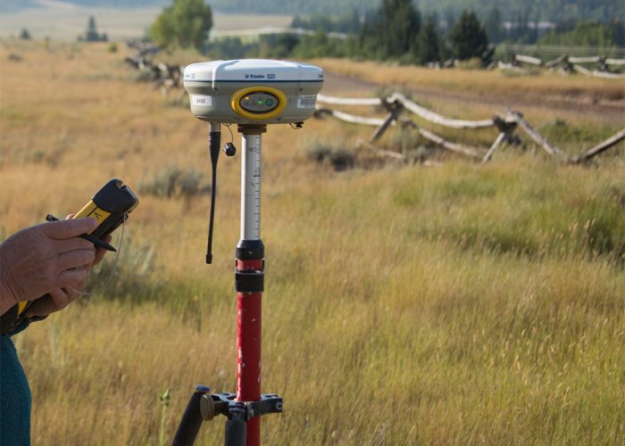
GIS / DGPS Mapping
Create customized maps, spatial databases, and geospatial analysis tools for land management and decision support using GIS expertise.
Read More –>
Drone Aerial Mapping and Photogrammetry
Utilize advanced imaging technology for high-resolution aerial images, detailed maps, 3D models, and digital elevation models (DEMs) crucial for various projects.
Read More –>
Standard Penetration Test (SPT)-SBC
Determine soil density and bearing capacity using the Standard Penetration Test (SPT), essential for assessing soil consistency.
Read More –>
California Bearing Ratio (CBR) Test
Evaluate the strength and load-bearing capacity of soil subgrades, subbases, and base courses, crucial for road and pavement design.
Read More –>
Non-Destructive Testing (NDT)
Assess material properties and structural conditions without damage, ideal for quality control and integrity testing.
Read More –>
Electrical Resistivity Tomography (ERT)
Investigate subsurface electrical resistivity to understand soil types, moisture content, and groundwater conditions.
Read More –>
1
GIS / DGPS Mapping
Create customized maps, spatial databases, and geospatial analysis tools for land management and decision support using GIS expertise.
1
Drone Aerial Mapping and Photogrammetry
Utilize advanced imaging technology for high-resolution aerial images, detailed maps, 3D models, and digital elevation models (DEMs) crucial for various projects.
1
Standard Penetration Test (SPT)-SBC
Determine soil density and bearing capacity using the Standard Penetration Test (SPT), essential for assessing soil consistency.
1
California Bearing Ratio (CBR) Test
Evaluate the strength and load-bearing capacity of soil subgrades, subbases, and base courses, crucial for road and pavement design.
1
Non-Destructive Testing (NDT)
Assess material properties and structural conditions without damage, ideal for quality control and integrity testing.
1
Electrical Resistivity Tomography (ERT)
Investigate subsurface electrical resistivity to understand soil types, moisture content, and groundwater conditions.
We Guarantee Precision and Trust Since 2012
We have epitomized excellence in land surveying and soil testing, driven by innovation and dedication.
Trust us to navigate Earth's depths, delivering precision and reliability for your projects.
Expertise
Backed by years of experience and a team of seasoned professionals, we bring expertise to every project. Our proficiency and knowledge enable us to tackle challenges with confidence and precision.
Quality Assurance
Our dedication to quality assurance is ingrained in every aspect of our operations. We adhere strictly to industry standards, ensuring accuracy and reliability in all our services.
Customer Satisfaction
Customer satisfaction is at the heart of everything we do. We prioritize client needs, offering personalized solutions and attentive service to ensure their utmost satisfaction.
Quick Response
We understand the importance of timely responses. With efficiency and agility, we provide quick responses to inquiries, ensuring smooth and seamless project execution.
Check out our project highlights See what we have accomplished!
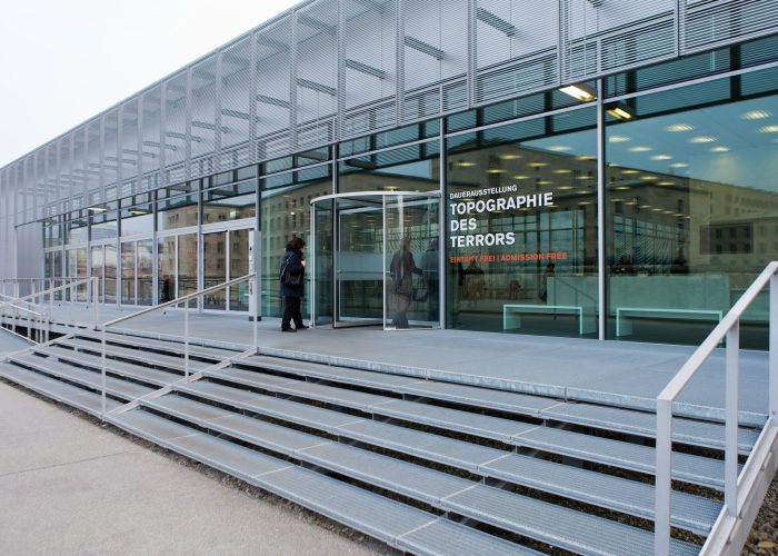
1. Mangaluru International Airport- Adani Group-Topographical Survey
2. Hindustan Petroleum Corporation Limited (HPCL)-Chitradurga- Topographical Survey
3. Bhima Jewellers-Mysore/ Bangalore- Asbuilt Survey
4. Indian Oil Corporation-Haryana-DGPS Survey
5. Kempegowda International Airport Bengaluru-Terminal -2 Project-Marking Survey



Check out our project highlights
See what we have accomplished!
May 20, 2024• byadmin
Hindustan Petroleum Corporation Limited (HPCL)
May 20, 2024• byadmin
Kempegowda International Airport Bengaluru
May 20, 2024• byadmin
Mangaluru International Airport
Front Title
This is front side content.
Back Title
This is back side content.
Words from our clients
Our promise delivered to hundreds of clients and counting

Kavl

John

Rake

Pritam
Pritam
Rake
John
Kavl
Our story beyond boundaries
Experience the narrative of excellence that propels us forward,
offering a glimpse into our ethos and achievements.
Cutting-Edge Technology
Experience innovation with our cutting-edge tech solutions, driving precision in every project. From advanced equipment to sophisticated software, we stay ahead of the curve.
Customized Solutions
Tailored to fit your needs, our bespoke solutions address unique challenges. With a personalized approach, we ensure your project's success is our top priority.
Timely Delivery
Time is paramount, and we excel in delivering projects promptly and reliably. With meticulous planning and efficient execution, deadlines are met without compromise.
The pillars of our success
Get to know the experts behind our success, blending innovation and dedication.
The pillar of our success
Get to know the experts behind our success, blending innovation and dedication.
Anu udaya kumar
Founder
The founder of Universal Land Surveyors is a seasoned expert in land surveying, bringing years of industry experience and a passion for precision. With a commitment to excellence, they lead the company to provide high-quality surveying services to clients across diverse sectors
Lawrence Moritz
Founder & CEO
Nikky Gregor
Senior Manager
Join our list of satisfied clients!
Reach out now to leverage our cutting-edge technology and expertise.
Universal Land Surveyors and Soil Testing Lab
Universal Land Surveyor and Soil Testing Lab is a leading provider of professional land surveying and soil testing services, serving clients across India


